
Levin
At
3°C
- Sunrise:
- Sunset:
Cloudy periods with morning frosts. Light winds.
Partly cloudy, with the chance of a shower in the afternoon. Southerlies developing for a time in the afternoon and evening.
Fine. Southeasterlies developing.
For more detailed weather information visit MetService.
Marine Recreational Forecasts - Levin
Area Description:
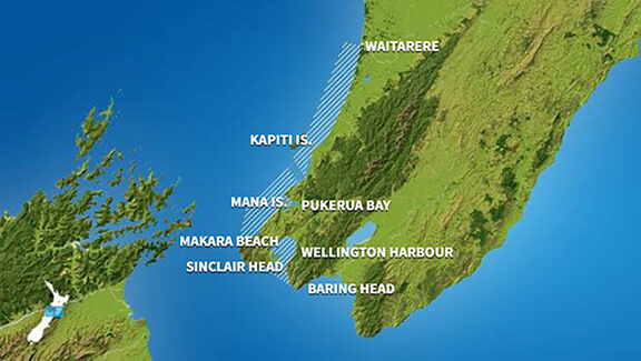
Kapiti
Situation:
A showery southerly flow over central and eastern parts of the country eases today as the low east of New Zealand shifts away to the northeast. Meanwhile, a ridge builds over the South Island. Tomorrow, the ridge builds over the South Island while an easterly flow affects the North Island. Throughout the period, the ridge continues to direct an easterly flow over the North Island. A weak front approaches from the Tasman Sea on Wednesday and moves east over the far south of the South Island on Thursday and Friday.
Warnings:
Forecasts:
For Kapiti: Today: Southerly 20 knots gusting 30 knots, easing to 15 knots in the morning, then easing to 10 knots north of Kapiti Island in the evening. Moderate sea easing in the morning. Cloudy periods, with fair visibility in a few showers. Westerly swell 1 metre dying out.
Outlook:
For Kapiti: Tuesday: Southerly 10 knots but 15 knots south of Kapiti Island. Fine. Wednesday: Southerly 10 knots, easing to variable 5 knots early. Partly cloudy. Thursday: Variable 5 knots, becoming easterly 10 knots late. A few showers.
Swell:
Marine Coastal Forecasts - Stephens
Forecast:
Monday: Southeast 25 knots. Sea rough. West of Farewell Spit to Hawera: Long period southwest swell 3 metres offshore easing. Southeast swell 1 metre. Elsewhere: Westerly swell 2 metres easing. Fair visibility in scattered showers.
Outlook:
Outlook following 3 days: Tuesday: Southeast 25 knots. Sea rough. Wednesday: Southeast 20 knots, easing to 10 knots late. Thursday: Becoming westerly 10 knots but southwest 20 knots west of Farewell Spit to Hawera early.